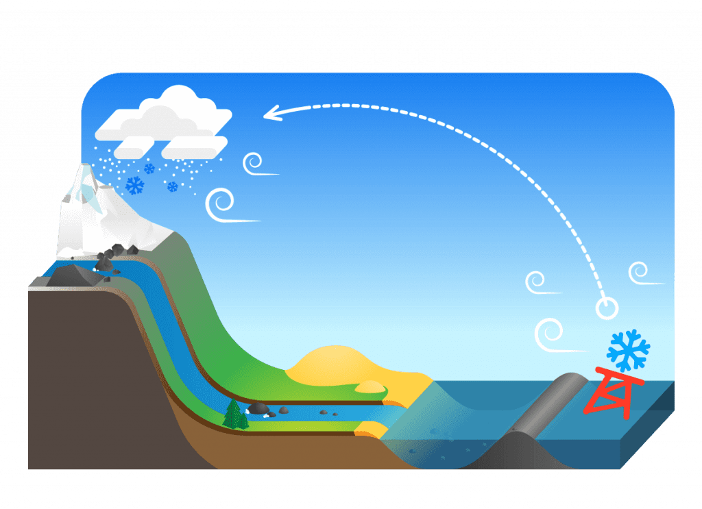
I have been tracking the Powderbuoy since 2004 and have been using it to plan my winter life balance ever since. I am not a meteorologist but I HAVE stayed at a Holiday Inn Express, and my best explanation as to what I think is happening is a correlation between water and air pressure in the general pathway which brings us our winter storms. Many of our storms come across the Pacific Ocean, often with big low-pressure systems which swoop down from the north. When air pressure is low, it is generally connected to stormy weather and the buoy will rise with the rising swells and rising significant wave height; aka the buoy pops.
Based on the distance of the buoy and the average speed and direction of the storm, we will generally get hit with that same low pressure about two weeks later. As an example, significant wave height may jump from 5ft to 15ft (buoy pop) as a low-pressure system rolls on its track to the mainland, two weeks after the pop we generally get hit with a storm.
The Power of the Buoy!
